

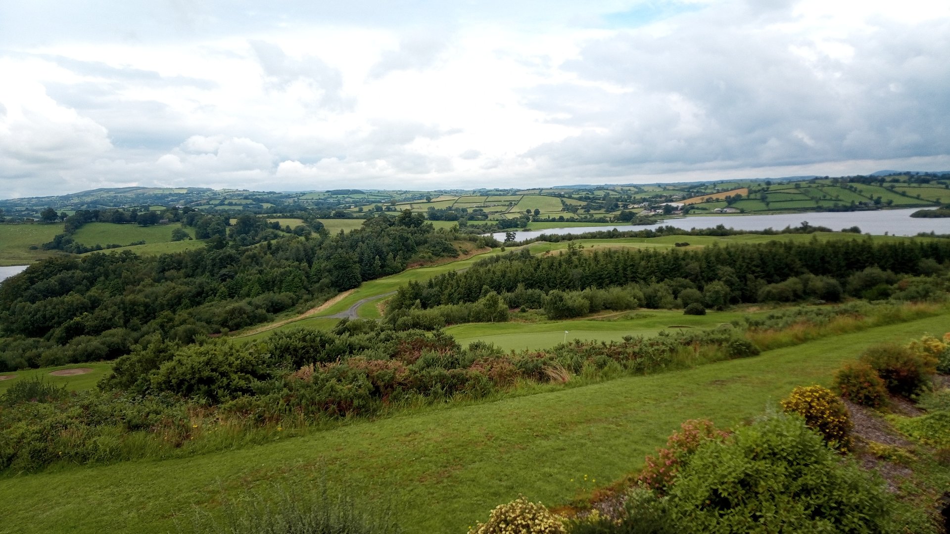
Strule Catchment
County Tyrone
One of the aims of the Protecting Shared Waters project is to improve the quality of river water that is received by the Glenhordial Water Treatment Works (WTW), just northeast of Omagh town. Glenhordial WTW abstracts water from the Glenhordial Burn, the Glencurry Burn, and the Camowen River, all of which are tributaries of the River Strule.
The Camowen catchment covers an area of approximately 245 km2 between Omagh and Pomeroy, extending down to Ballymackilroy. The Camowen River rises south of Pomeroy and flows westward, where it is bridged by the B46 in Tiroony and meets a tributary south of Carrickmore. It meets another tributary near Bracky, then flows southwestwards under the B158. In Omagh, the Camowen River meets the River Drumragh and together they are referred to as the River Strule. The Strule runs north to meet the Fairy Water and the Owenkillew, and is a major tributary of the River Foyle, eventually draining into Lough Foyle and the Atlantic Ocean.
Water Framework Directive Pressures
The catchment area of the River Strule sits within the North-Western River Basin District (NWRBD). All but two rivers within the Strule are failing to meet the ‘good’ status for ecological health according to the Water Framework Directive. The catchment is impacted by a wide range of anthropogenic pressures, including diffuse and point source pollution from agriculture, sand and gravel extraction, commercial forestry, recreational fishing, industry, water abstraction, sewage treatment, invasive plant species, urban sprawl, and man-made flood defences.
To enhance water quality and native biodiversity in the catchment, pressures on the aquatic environment require appropriate monitoring, control and remediation.
On-farm improvements and participation from farmers across the catchment can help to reverse this trend and improve water quality in the Camowen River and Strule catchment.
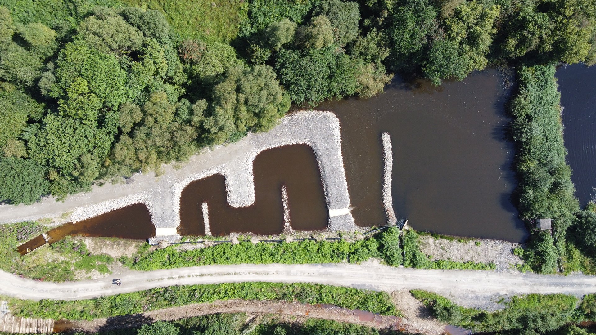
Aerial view of the residuum lodge.
Peatlands in the Strule Catchment
Natural Water Sponges
Peatlands within the Strule Catchment are found at the top of the Sperrins all the way down to the meandering bends of the Camowen River.
Many peatlands are protected by law for their value to rare species such as the Irish Hare and Curlew. Peatlands are some of our most distinctive habitats and they occur as raised bogs and blanket bogs in the Strule Catchment.
Peatlands have a rich cultural history and many generations relied on them for livelihoods. Beneath the dark soils of many of our peatlands is the records of ancient people who inhabited the land before us. The value of our precious peatland also extends to water where they store, slow and clean water entering rivers and lakes. Unfortunately, peatlands within the Strule face many struggles and their conservation and restoration are key to the longevity of local communities and their ways of life.
Blanket Bogs
The high hill tops of the Sperrins, like Mullaghcarn, are a type of peatland known as blanket bog. Blanket bogs exist as working natural spaces, often used for farming while benefitting nature, people and water. Blanket bogs form in the wet and windy conditions of hilltops, acting as brilliant sponges for water storage and can release their water slowly throughout the year.
Raised Bogs
Raised bogs are found in the low ground between the drumlin hills of the Camowen catchment. Raised bogs are ancient lakes which have become peat-rich habitats when infilling of organic material occurred. Raised bogs can have soil peat depths up to 12 meters and are the only places where beautiful plants like bog rosemary and golden bog moss can be found.
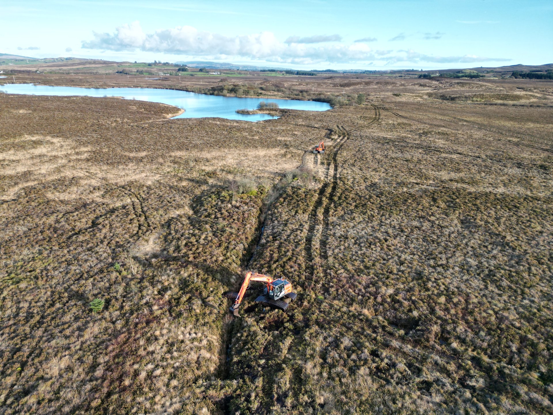
Peatland re-wetting dams and reprofiled contours at The Murrins Area of Special Scientific Interest (ASSI).
Fane Catchment
Armagh · Monaghan · Louth · 356 km²
The River Fane catchment, covering an area of approximately 356km2, is a strategically important cross-border catchment spanning parts of Counties Armagh, Monaghan and Louth. The system supports aquatic ecosystems and contributes to regional water resources by providing an important source of raw water for public drinking water supplies. Water abstracted from within the catchment by Uisce Éireann is treated and used to supply the village of Inniskeen and Dundalk Town and surrounding areas, whereas water abstracted and treated by NI Water is used to supply parts of Counties Armagh and Down.
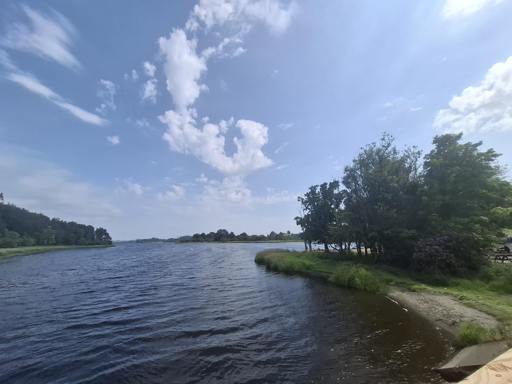
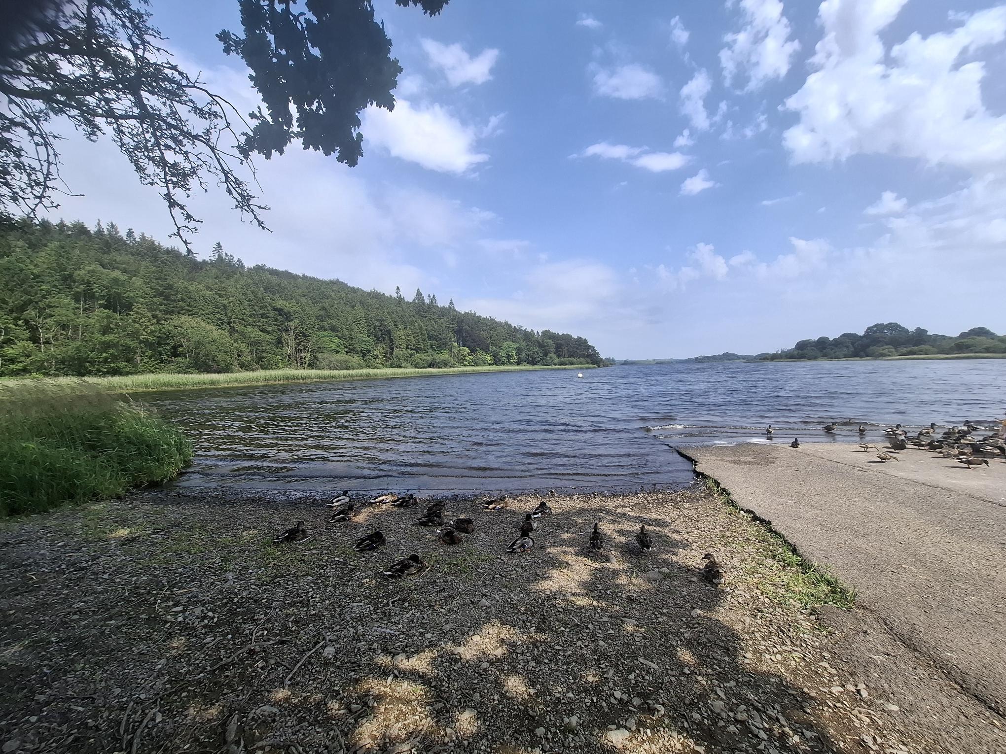
Rising south of Clontibret, Co. Monaghan, the watercourse flows into Lough Muckno on the outskirts of Castleblayney Town. A number of other substantial watercourses including the Gentle Owens Lake Stream and the County Water, both rising north of the border, also discharge into Lough Muckno. Known colloquially as the Clarebane River, the outflow of Lough Muckno travels a relatively short distance downstream before discharging into Lough Ross, a lake which straddles the border of Monaghan and Armagh. From there, the River Fane flows in a southeastern direction for approximately 28km before discharging to sea. On its journey the river passes through the villages of Inniskeen and Knockbridge, receiving inflows from a series of additional water watercourses. Approximately 3km from the coast the river is culverted under the M1 motorway where it then makes its way to its outflow at Dundalk Bay, an area designated as both a Special Area of Conservation (SAC) and Special Protection Area (SPA).
Water Quality & Sub-catchments
The River Fane catchment is situated within the Newry, Fane, Glyde and Dee catchment and is comprised of two sub catchments the Fane_SC_010 and Fane_SC_020. Water quality / ecological status ranges from Poor to Moderate to Good status at different parts of these sub catchments. The majority of the watercourses upstream of Inniskeen Village are classified as being ‘Poor’ in status. Noteworthy, the headwaters of the Gentle Owens Lake Stream and the reaches of the Fane – downstream of Inniskeen to downstream of Knockbridge village – are classified as ‘Good’ status. Catchment assessments identify, agriculture, industry, urban wastewater and urban run off as significant pressures.
An Education Community Outreach (ECO) Programme will provide an important framework for addressing the water quality, water quantity and biodiversity challenges facing the catchment through cross-border collaboration, evidence-based interventions, and sustainable land and water management practices. It is envisaged that this new community-led programme will encourage people to take practical actions using Nature-based Solutions (NbS) and water conservation measures to help improve water quality conditions and water quantity resilience.

Panoramic survey of Lough Muckno and the upper River Fane catchment landscape.

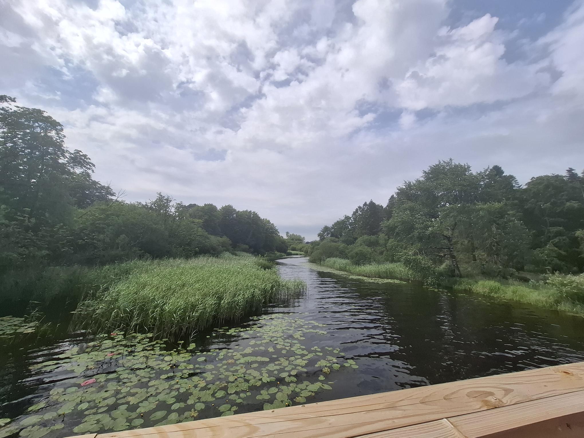
Communities
Find out how we’re working with communities in the Fane catchment.